- Home
- Industries
- Products
- Solutions
Businesses
Governments
Industry
SIAS
- Services
- Contact Us
Coordinate operations from anywhere Work seamlessly between office and field

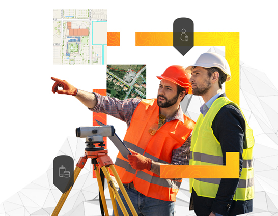
Field activities often involve multiple projects, many staff members and numerous assets. Fieldworkers can use mobile apps, smart maps and dashboards to see the real-time status and location of projects and staff. This digitally transformed approach saves money and time by eliminating duplicated efforts and wasted resources and keeping data current.
Visualise moving and fixed assets dynamically. Implement problem-solving tools to accurately record the locations and health of your assets.
Gain insights from your data whether you are tracking moving assets or stationary sensors. Make the right decision at the right time.
Streamline projects and identify areas that need improvement. Rely on authoritative data to reduce errors and better allocate resources.

Smart maps and dashboards illuminate critical field operations, empower on-the-fly improvements, and reveal deeper insights about projects and resources.
Enhance asset tracking and analysis for improved asset management with location intelligence.
Gain a location-based perspective on real-time field activities and use visually rich dashboards to inform decisions. Work seamlessly in sync and real-time collaboration from field.
Know where assets are and monitor changes in real time. Use big data and Internet of Things (IoT) technology to make quick, informed decisions based on the most up-to-date information.
Visualize people, places and assets to gain a clear understanding of all operations in the field. See what's happening across the organization, create a detailed plan and know where to effectively schedule and dispatch resources.